BiblioTech
CTech’s Book Review: A journey into the history of GPS
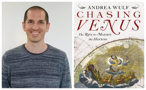
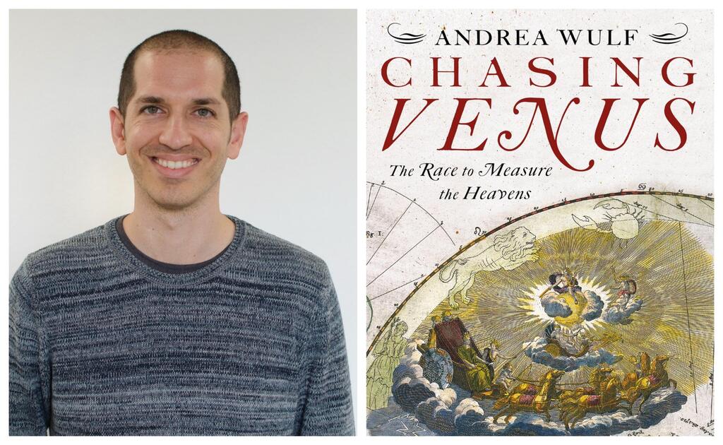
Oded Fossfeld, Co-Founder and CTO of Placer.ai, shares insights after reading “Chasing Venus” by Andrea Wulf
Oded Fossfeld is the Co-Founder and CTO of Placer.ai, a provider of privacy-preserving compliant location analytics. He has joined CTech to share a review of “Chasing Venus” by Andrea Wulf
Title: “Chasing Venus”
Author: Andrea Wulf
Format: Book
Where: Home
Summary:
A novel about a multi-nation coordinated scientific expedition. It takes place during the 18th century.
Scientific teams from around the world travel to multiple locations at remote corners of the Earth. They are on a mission to witness the transit of Venus across the Sun: a once-in-a-lifetime event. This will allow them to calculate the exact distance between Earth and the Sun. It was an ingenious method envisioned by a scientist some decades earlier. He would not live to witness the results.
The journey is extremely dangerous. The chances to succeed are low. There are no riches guaranteed to those who make it. Nevertheless, a group of scientists devote their lives to it.
Important Themes:
Through the book, we encounter a few themes taking place during the 18th century.
- Scientific developments
- Globalization and colonies
- War & diplomacy
The scientific community was intrigued by the idea of measuring the distance to the Sun in a precise way. There was no technology at the time that would enable doing so. The transit of Venus across the sun presented a unique opportunity for measurement.
Due to unique astronomical and geographical considerations, those measurements couldn’t be done from “home”. In addition, the unforeseeable weather conditions and other difficulties made it very likely to fail to collect quality metrics. In order to mitigate that, it was very important to conduct multiple measurements from different locations.
The most suitable locations were the ones least accessible. Among them are remote islands in the pacific, and isolated areas in the Arctic circle. In order to reach those locations, it was necessary to get proper funding and dispatch an expedition for each such journey.
Besides the natural hazards along the way, there were also geopolitical complications. European countries were at war with one another, which added risk to the sea voyage. The remote colonies which were the destination of the journey were also at risk of changing hands.
It’s interesting to observe how this common goal leads to a multi-national collaborative effort. The effort often succeeded when other diplomacy failed.
What I’ve Learned:
It was very interesting to learn how complicated it was to perform geographic measurements in the old world, especially trying to calculate the longitude value of a location. A task so challenging at the time, that you’d have to undergo special training, state-of-the-art equipment, and ideal settings in order to get it right.
Today with modern GPS systems (and other technology), we are able to measure the exact coordinates within a few meters. We can do it from any place, and by anyone, using commodity hardware such as smartphones.
These days at Placer.ai, we’re doing a lot of work in the “geographic” domain. These kinds of calculations and measurements are our “bread and butter”. Things that we take for granted in our line of work. It made me feel humble to learn about their origin and history.
Who Should Read This Book:
Anyone with a passion for history, science, and the history of science.
Entrepreneurs could be inspired by the patience and devotion of the heroes of this tale.
The science level in the book is the popular-science level, less than the academic level. You would be able to enjoy the book even if you don’t get all of it.


