GPS disruption due to war wrecks havoc on automated farming systems
The agricultural equipment based on autonomous systems is currently out of commission due to the IDF's targeted disruption of navigation systems, and the younger generation of farmers do not know how to operate the equipment without that tech. How do you cope? Call in a 73-year-old kibbutz member who knows how to operate a tractor
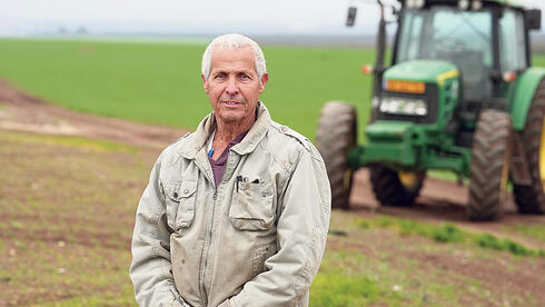
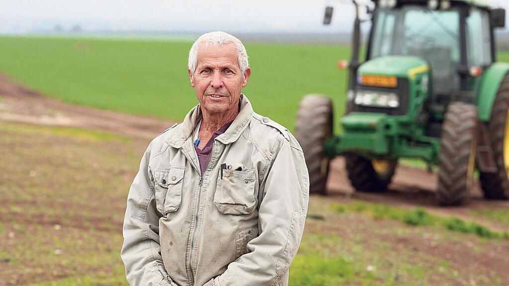
The targeted GPS jamming by the IDF brought traditional agriculture back to the fields. A few weeks ago, after an absence of 30 years, a member of Kibbutz Mevo Hama in the north, Rami Laner (73), returned to work in the field crops branch of the kibbutz, and it's not just because of the many workers who were drafted into the IDF reserves due to the war. The additional reason is: the younger equipment operators do not know how to operate the tractor for spraying or sowing tasks without the GPS-based autonomous systems of the modern tractors. And these days, against the background of disruptions of the satellite navigation systems produced by the IDF to make it difficult for Hezbollah to send drones and missiles to Israeli territory, these systems are not functioning.
"Until I arrived, we were very behind at work because there is no one who knows how to do it without GPS," said Lener, son of the late General Dan Lener, one of the 37 paratroopers of pre-state Israel. "Now, I'm left to do the work, having returned after a 30-year hiatus, doing tasks that are usually otherwise done with GPS. It's a big mess."
GPS disruptions, mainly in the north of the country, which the IDF has been producing since the beginning of the war, meet most Israelis with amusement or annoyance, such as the inability to navigate with Waze, because the application identifies the user's location as Beirut. Local councils and public transport companies are having difficulty with day-to-day operations of their fleet of buses, all of which are equipped with GPS, which not only allows passengers to know exactly when the bus will arrive at the station, but also allows the operators to monitor the activity, and make sure that there are no malfunctions and that the entire system is functioning efficiently. "Before the disruptions, the call center knew at any given time where each bus was," said the head of the Golan Regional Council, Haim Rokach. "Today it doesn't work. We only have approximate timetables at the moment. We gone backwards."
But these are mainly disruptions of inconvenience. In the field of agriculture, on the other hand, the interruption to the current activity is more significant, and it also has more significant consequences which are expressed in a decrease in productivity on the one hand, and an increase in production costs on the other. Israelis will feel the results of this in the rising prices of products in the supermarket.
Agriculture in Israel today is very far from the classic image of an Israeli farmer driving a tractor across a field. It is one of the most technologically advanced industries in the Israeli economy, which makes use of innovative capabilities to perform routine operations such as sowing, harvesting, spraying and cattle management faster and more accurately. "Agriculture in Israel, with the aim of bringing the industry to growth, made a point of going in the direction of precision agriculture," said Lener. "We know how to do everything better and more precisely, that there will be no overlap or double spraying. This is agriculture that is based on technology."
Today, when it is necessary to sow or spray a plot of field crops, the main role of the equipment operator is to bring the tractor up to the plot itself. "In field crops, all the tractors are equipped with automatic GPS-based steering systems," explained Yosi Mousanejad, the business manager of Mevo Hama. "You enter the plot data you want to sow (width, depth), the operator stands with the tractor at the beginning of the plot, and the vehicle drives and performs the work by itself. When the operator drives there is a deviation, with GPS the level of accuracy is very high."
GPS-based spraying drones are also used, but all these systems are currently not functioning or functioning in an unreliable manner, forcing the farmers to return to older, more complex and less efficient methods in almost all branches of agriculture.
In the field crops, for example, they returned to a spraying method in which the spraying lines are marked using flags at a distance of 18 meters wide from each other (the width of the tractor sprayer). "You go to the field, every 18 meters you put a flag and the sprayer travels between the flags," Laner said. "This creates a relatively large overlap in the areas that are sprayed, because it is impossible to travel very precisely. Precision agriculture has made it possible to travel very precisely from strip to strip. The GPS helps a lot with precision, the degree of accuracy is 3 cm."
According to Laner, this has a direct effect on yield: "There are substances that, if sprayed twice, kill the plants, or they suffer greatly. Overspraying can also make weeds resistant."
Added to this is the fact that many operators, especially the younger ones, cannot work without the GPS-based systems. "Today's operators do not know how to drive according to flags, and you also need to know how to mark in the field when there is no GPS. As a result, some of the work that was supposed to be done before the rain came was postponed. Now after the rain, it is more complicated and damage has been caused," Laner said.
Productivity decreases
The GPS disturbances also affect the ability to use spraying drones that farmers operate in orchards and fields. "In the orchards, we operated spraying drones that saved a lot of money and provided precise spraying," said Mousanejad. "Without GPS we can not operate them, and instead we brought in dedicated tractors to spray. Even in field crops we operate spraying drones, which are much more accurate, and the cost per crop is lower. When a drone sprays a row, it starts sprinkling the substance right at the beginning of the row and finishes immediately at the end. When a tractor starts, it sprays a little before and a little after. In addition to the cost of the substance, because more substance is needed, there is unnecessary spraying on land that I would not spray, which can produce weed resistance to pesticides and erosion of the tools."
Drones are also used by farmers to monitor crops at different stages, and provide real-time information that makes it possible to respond to developments in the field. "We use a drone to see how the plot is growing. If we sow 2,000 dunams (494 acres) of wheat, with a drone I can see if the growth is uniform and if I need to use more fertilizers in certain areas. Without a drone I don't have that, I can't climb a ladder 40 meters high. It harms the cultivation itself. With a drone, all 2,000 dunams yielded, let's say, a thousand tons of wheat kernels, without a drone they would only yield 800 tons of kernels because I didn't know which plots to fertilize."
Another issue is with raising cattle for food. "In cattle, a drone is used to follow the herd in the pasture and steer it," Mousanejad said. "Without GPS we can't do that. People have to physically go out for many hours in the field, walk around a lot more, which produces greater wear and tear on the horses and the tools they use, and of course on the people themselves, as well as additional costs. I have to pay an employee who does in three hours what a drone does in an hour. A drone takes off and reaches its destination in five minutes, and someone who rides a horse takes longer."
All of this ultimately has an economic impact that we will all feel at the supermarket checkout. "The output is decreasing and the cost is increasing, and in the end someone has to pay for it," concluded Mousanejad.


