










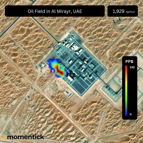
Israeli startup’s satellite technology targets a costly blind spot in methane monitoring
Momentick’s results in a Nature study suggest that remote sensing can help identify relatively small leaks without equipment installed at each site. Better detection could help energy companies reduce lost gas and provide insurers with more information about environmental risks.
An Israeli startup has demonstrated that satellite imagery can be used to detect a methane emission estimated at less than 10 kilograms per hour, in a large international experiment published in the scientific journal Nature. The result highlights the potential for satellite-based monitoring to identify leaks that might otherwise go undetected, although the study also found significant differences in performance between satellite systems and analytical methods.
Momentick participated in the year-long study, led by researchers at Stanford University with colleagues from the University of Michigan and other institutions. The researchers conducted 746 test events in Arizona, including 481 controlled methane releases and 265 control cases with no emissions. Fifteen analysis teams from nine countries examined data from 12 satellites, producing more than 2,250 estimates without knowing the actual release rates in advance. The researchers described it as the largest controlled test of space-based methane detection to date.
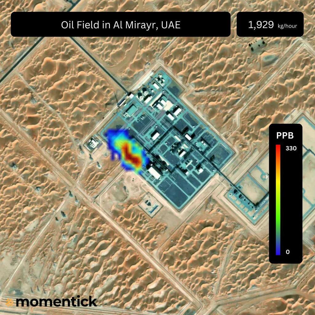
Using imagery from the WorldView-3 satellite, Momentick estimated a methane release of 9.47 kilograms per hour, corresponding to the smallest emission tested in the experiment. The company said it detected four of the six releases below 100 kilograms per hour using the same satellite and recorded the highest number of detections in that category among participating teams. In a separate phase involving the Tanager-1 satellite, Momentick reported a 100% detection rate, matching the result achieved by Carbon Mapper.
The findings come with an important qualification. Researchers knew the approximate locations of the emission sources, meaning the experiment primarily tested the ability of systems to detect and quantify emissions at known sites rather than search large, unfamiliar areas for leaks. The study also found that cloud cover could impair detection and that some artificial intelligence-based methods produced false positives. The results therefore demonstrate the potential of satellite monitoring under tested conditions, rather than proving that every small leak can be reliably detected from orbit.
Methane is a potent greenhouse gas, and leaks also represent lost revenue for energy producers. Finding emissions remotely could help companies identify problems, prioritize repairs and reduce wasted gas without installing monitoring equipment at every site. Satellite-based measurements could also provide information to insurers, financial institutions and regulators assessing the environmental risks associated with energy infrastructure.
Founded in Israel in 2020, Momentick develops software that analyzes satellite imagery to detect and measure methane and other greenhouse gas emissions. Its platform combines imagery from different satellite systems with computer vision, algorithms and AI to identify emission sources and estimate their volume. The company has also targeted the insurance market, where reliable emissions data could help assess risks associated with energy assets and inform coverage decisions.
In January 2025, Momentick announced a $5 million funding round led by FinTLV Ventures, with participation from Menomadin and TAU Ventures. The funding was intended to support its expansion into insurance and financial risk management.